Products Details

×
![]()
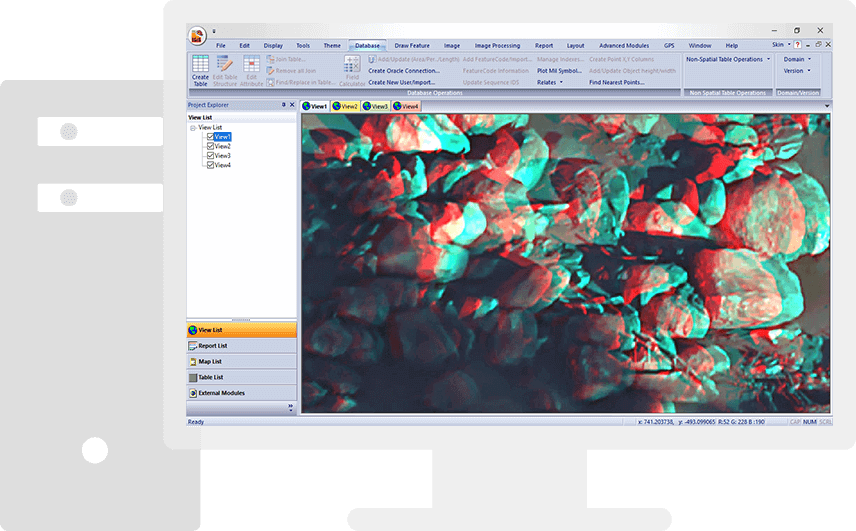
Designed for processing stereo imagery captured from various satellites, aircraft and drones with and without camera information. The photogrammetry process uses a camera model and RPC imagery information. A simple automated workflow, highly accurate survey-grade outputs and high-speed parallel processing makes the IGiS Photogrammetry Suite unique.
Scanpoint Geomatics Ltd. - All Rights Reserved
