Products Details

×
![]()
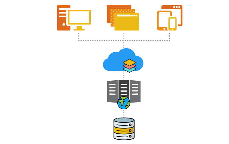
Share, Manage, and Distribute data with IGiS Server
IGiS Server is used to publish and manage geospatial data including imagery and applications. Users can create different services to share this geospatial data and applications over the intranet and Internet across different platforms. IGiS server supports OGC services for Geospatial data, metadata, and processing. It provides comprehensive spatial data infrastructure that extends over desktop, web and mobile platforms.
Scanpoint Geomatics Ltd. - All Rights Reserved
